


chemin des Tuliers n°6

chrisgps
Gebruiker
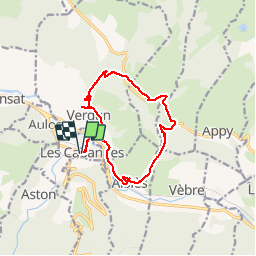

Lengte
14,1 km

Max. hoogte
963 m

Positief hoogteverschil
533 m
Km-Effort
21 km

Min. hoogte
531 m

Negatief hoogteverschil
534 m
Boucle
Ja
Datum van aanmaak :
2019-05-08 15:16:09.155
Laatste wijziging :
2019-05-08 15:16:09.297
4h30
Moeilijkheid : Gemakkelijk

Gratisgps-wandelapplicatie
 SityTrail
IGN / Geografische instituten
SityTrail Plus
De wereld gaat voor u open
Over ons
Tocht Stappen van 14,1 km beschikbaar op Occitanië, Ariège, Les Cabannes. Deze tocht wordt voorgesteld door chrisgps.
Beschrijving
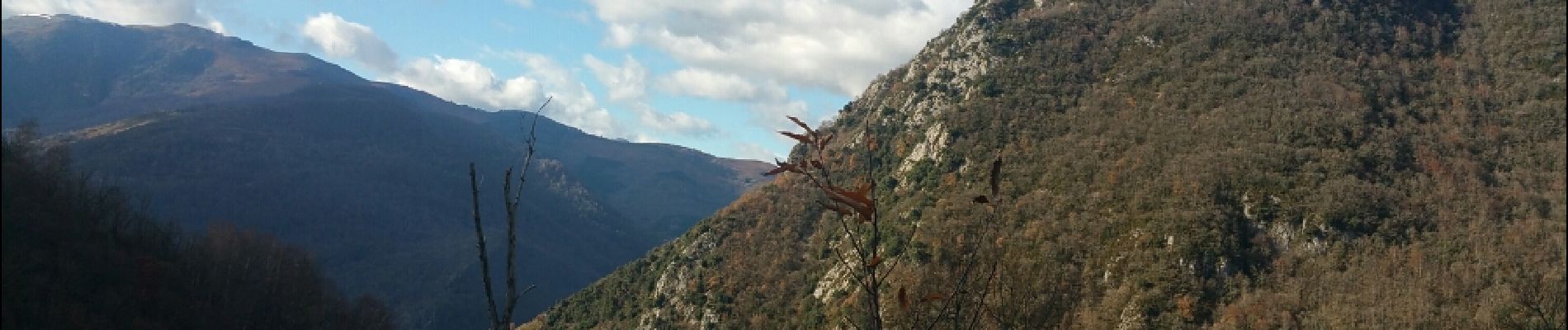
les Cabanes Caychat verdun les cabanes
Foto's

Plaatsbepaling
Land:
France
Regio :
Occitanië
Departement/Provincie :
Ariège
Gemeente :
Les Cabannes
Locatie:
Unknown
Vertrek:(Dec)
Vertrek:(UTM)
392565 ; 4737759 (31T) N.
Opmerkingen